Colorado DCVZ Magic.
May 26th, 2019 – Northeastern Colorado – EFU Tornado near Keensburg, CO
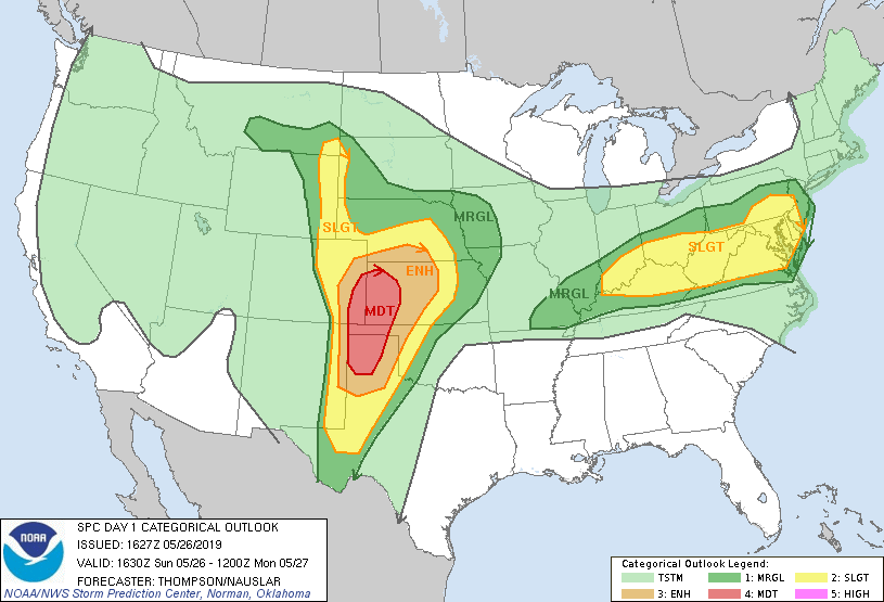
What would be our second of 4 consecutive chase days in Colorado, went moderate with the 06z D1 outlook, but not for our target – which we couldn’t have been happier about! This is for a few reasons. One, we wanted to avoid chaser convergence, as 2019 was the ‘Year of Chaser Convergence’ (*cough* May 20), and two, it looked like the more southern, Moderate target would likely grow upscale and messy very quickly as it raced into western Kansas (also kind of putting us out of position for the next day).
Besides, we didn’t want the moderate risk anyway as we were sniffing out the risk for a few semi-discrete cells to develop along the subtle north branch of the DVCZ near and northeast of DIA.
So we banked on some good ‘ole Colorado magic and that the glorious DCVZ would be as active as we hoped. So we played a northern, slight risk target just east / northeast of Denver where we had expected a cell or two to get organized, latch onto the DCVZ and a differential heating boundary draped across northeast Colorado, and go supercellular for a brief period.
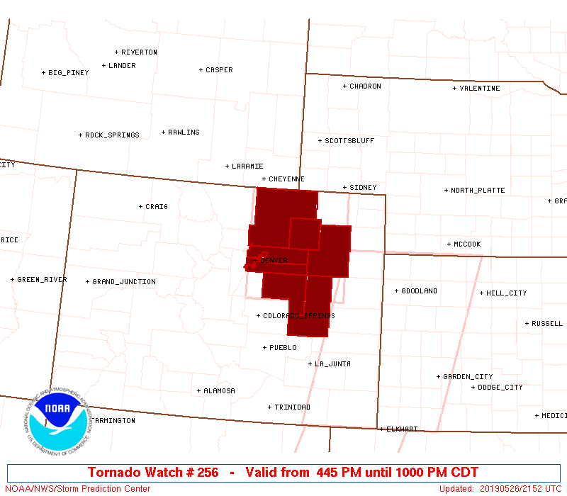
That’s what would eventually happen just east-northeast of the Denver airport. Storms initiated quickly south/south-southwest of Denver where dewpoints began to pool. A mild cap held over our target area until 1-2PM just in time for these southern storms to propagate into our target. We chased a few small attempts at storms east of Denver but nothing was able to beat the cap. Eventually, however, some more organized and sustained storms moved into our target area and a few messy supercells were taking shape, the SPC issued tornado watch 256 at this time.
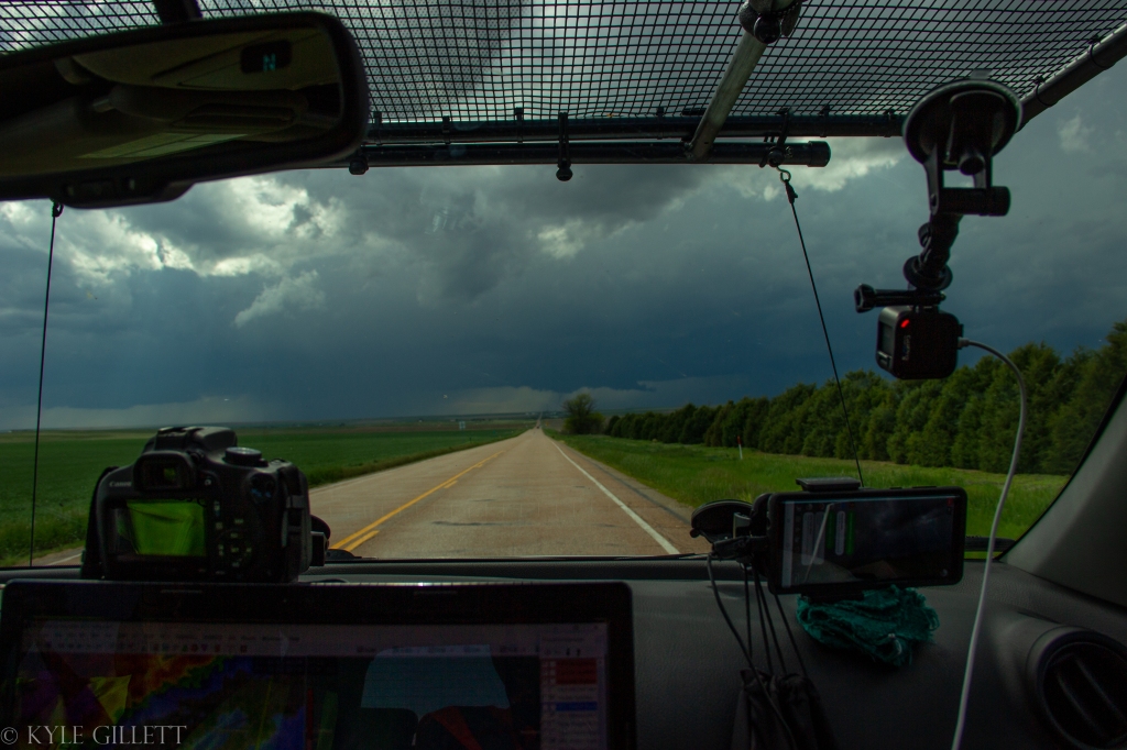
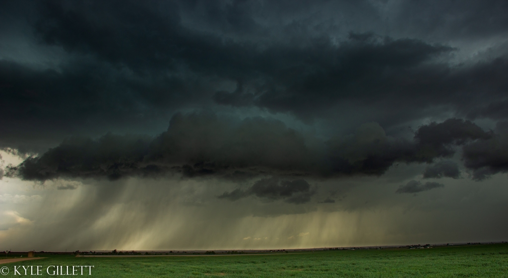
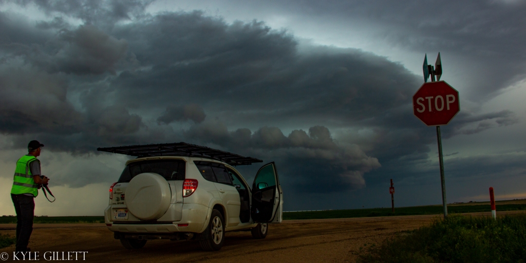
Finally, one of the messy storms we were watching likely latched onto the boundary and quickly began organizing into the first true chasable supercells of the day. We knew that if anything happened, it would likely be a one-and-done so, we found ourselves barreling south and westward towards a very low wall cloud and multiple brief funnels on a few occasions.
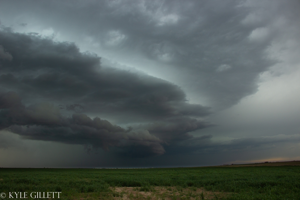
Upon finally arriving, a decent wall cloud and RFD clear slot were in progress. There was a quick gustnado near the RFD gust front.
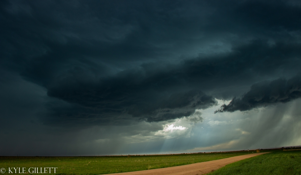
Unfortunately, we found ourselves in an area with a tough road network and we were forced to keep our distance in order to stay with a good north-northeast road system.
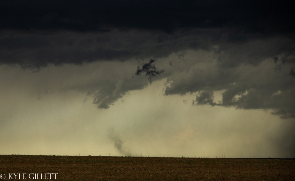
While deciding what would be our next move, a very quick stove-pipe funnel descended from the wall cloud and would touch down for *maybe* 20-30 seconds before becoming shrouded in rain curtains and occluding.

Luckily the tornado occurred over open fields and did no damage. Two other chasers in the area reported this tornado as well.
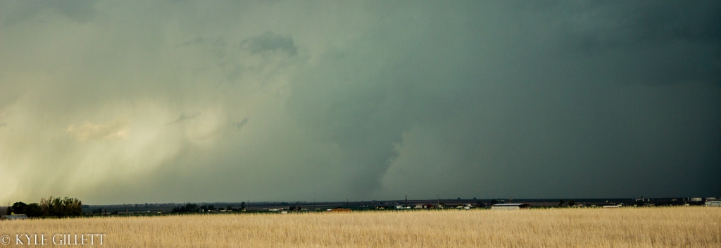
After the tornado become totally rain-wrapped, we continued to follow the storm but it soon lost its ‘tornado-prone-supercell’ look both visually and on radar. We did see some fun structure from it later on.
Eventually, we would let the storms pass to our north after following them for a couple hours.